Bureau of Indian Affairs: Weather Operations and Wildfire Tracker

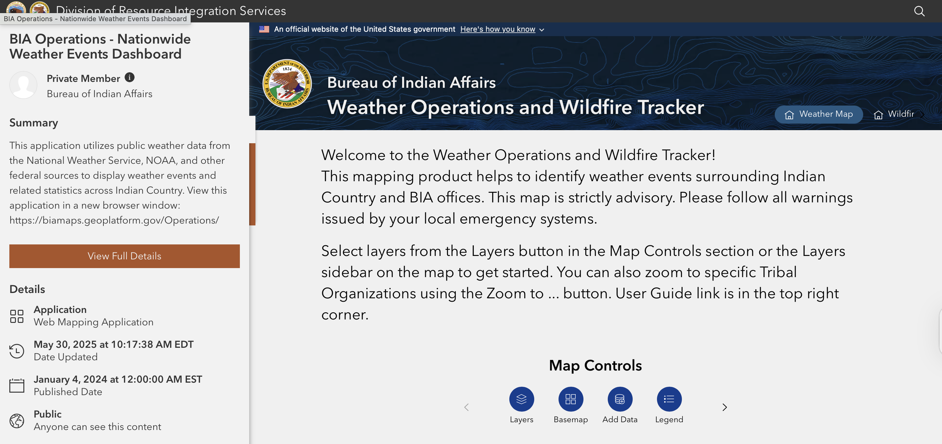
This resource is an interactive Bureau of Indian Affairs weather and wildfire mapping tool that uses NOAA and National Weather Service data to show real-time hazards such as storms, floods, hurricanes, and wildfires across Indian Country and tribal lands for monitoring and emergency awareness.

 Related Topics


Card image
Native Americans and First Nations

Data & Metrics


Photo of an Indigenous person holding a drum. Behind them is a scene of a lake and forested mountains.
Indigenous Knowledge Library
Library
Published on 08/04/2022
Collage of images of Black, Indigenous, and People of Color with teal, olive green, golden yellow, and burnt orange transparent overlays. Bold white text on charcoal background at the top reads
BIPOC Health Equity Library
Library
Published on 09/27/2022